Smoke and Fire
How do I get more information about wildfire?
For issues related to ongoing fires, go to InciWeb, the Incident Information System. If the fire is on the National Forest, consult the San Juan National Forest website. For information about your house and how it relates to wildfire risk, check out this resource from Colorado State Forest Service.
Where is the smoke coming from?
There’s a great map to see the extent of fires, their locations, and the smoke and air quality information on the AirNow map.
How do I know if my property needs work?
Reach out to Wildfire Adapted Partnership, Natural Resources Conservation Service, or Colorado State Forest Service (all explained below) for information on a home assessment and where to find funding. Just remember that wildfire is a natural part of our landscape and will continue to be. It’s not about stopping fire, it’s about being prepared and giving ourselves more space to make decisions.
If I need wildfire mitigation work on my house, do I have to pay for it?
It depends. There are several programs listed below that can help or completely cover the cost of work on your land (see the Fire Mitigation Resources and Funding tab). Inquire with the resources to get started.
For issues related to ongoing fires, go to InciWeb, the Incident Information System. If the fire started on National Forest land, check their pages (see below).
In case of emergency, dial 911
For non-emergencies, contact Archuleta County at (970) 731-2160
San Juan National Forest
- San Juan National Forest alerts and notices
- Explore interesting articles, projects, and more information about what’s happening on the San Juan National Forest on their Facebook page
Rio Grande National Forest
- Rio Grande National Forest alerts and notices
- To learn more about what’s happening on the Rio Grande National Forest, visit their Facebook page
Other areas:
Colorado State Forest Service
- Wildfire Mitigation
- Creating Wildfire-Defensible Space Zones
- Protect your Home, Property & Forest from Wildfire
- Videos on forest, fire, and mitigation
Wildfire Adapted Partnership
- Programs
Natural Resources Conservation Service (NRCS)
The NRCS provides grants for wildfire mitigation work on private property. Reach out to Cody Robertson at cody.robertson@usda.gov to learn more about support for critical work on your land or call 970-731-3615.
FireWise USA
- “Are you FireWise?” Notebook
- Checklist: What to do when you are threatened by a wildfire
- Interactive Map
Additional Resources
- Click HERE to learn more about fire danger levels and what the different stages of fire restrictions mean
- The USDA Forest Service released short, informational videos about understanding stage I and II fire restrictions on national forests:
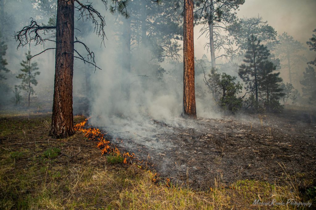
By intentionally and carefully planning fires we are reintroducing fire under conditions that limit impacts of smoke compared to unplanned and uncontrolled conditions during a wildfire. Using prescribed fire helps reduce fuels on the landscape and helps mitigate the risk of a large wildfire and the greater smoke impacts of a wildfire.
Smoke impacts and mitigation from prescribed fire is considered from the first phases of developing a burn plan all the way to the day of the fire. A plan is created that defines which communities would be impacted and identifies strict weather conditions under which a burn must be carried out to minimize impact. Fire managers must operate under a permit obtained from the Colorado Department of Public Health and the Environment and closely monitor conditions to determine the optimal time to burn. Fire managers are always aiming to minimize impacts from smoke and attempt to carefully balance the impact of both time and intensity of smoke on the landscape.
USFS Rocky Mountain Research Station
- Resources for Postfire Response: Science You Can Use Bulletin, October/November 2020
- Wildland Fire in Ecosystems: Effects of Fire on Flora
- Restoring Composition and Structure in Southwestern Frequent-Fire Forests
Colorado State Forest Service & Colorado State University
Durango Herald – Durango, CO
Colorado Fire Restoration Institute (CFRI)
Additional Information
- La Plata County: Flood after wildfire: Be prepared & get resources
- CSU Extension: Returning Home After a Wildfire Evacuation
- CSU Extension: Assessing Your Homesite After a Wildfire
- CSU Extension: Fire Related Facts and Tips Sheet
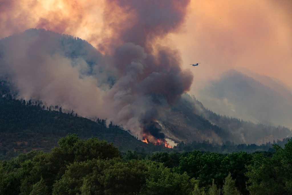
From June 1st to July 31st, the 416 returned fire to a landscape approximately 10 miles north of Durango CO, without loss to lives or structures, that had experienced more than a century of fire-repression. The 416 was officially contained on July 31st and later controlled on October 5th. The Burn Area Emergency Response team (BAER) reported that over 98% of the fire burned on National Forest Service Land and less than 2% on private property.
Despite the long-term positive effects this fire will bring to the Hermosa Wilderness and the Hermosa Creek Special Management Area, the short-term effects have made local landscapes and water sources highly vulnerable to erosion, debris flows, and degraded water quality.
The name of the 416 Fire originated as it was the 416th incident call for the San Juan National Forest received by the Columbine Ranger District in Bayfield, Colorado in the spring of 2018.
Learn more about the 416 Fire using this story map.